Canal Crossings in South Florida
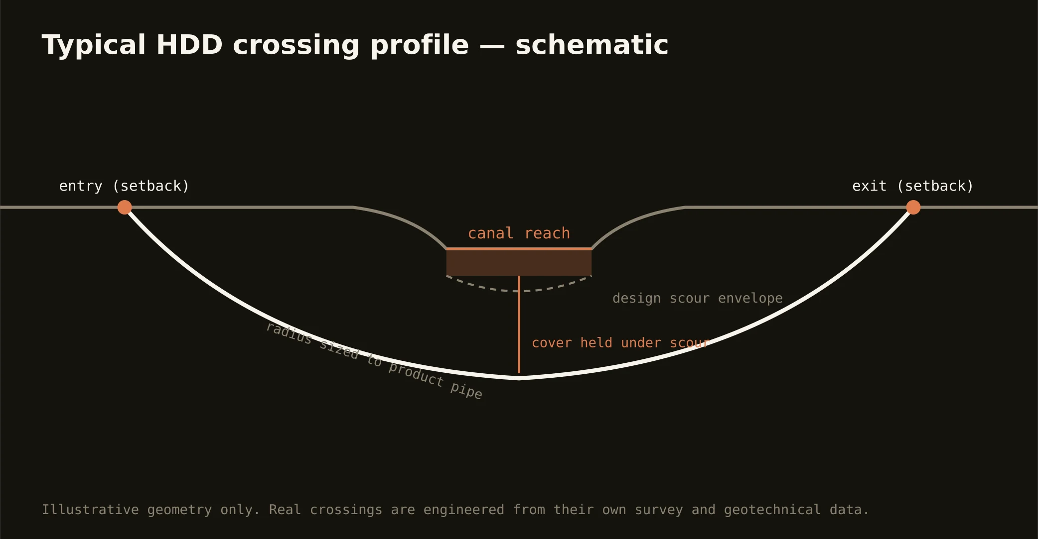
South Florida exists because of its canals — the primary system managed by the water management district and the secondary grids under county and local drainage districts, all of it engineered conveyance that floods the metro if it fails. Nearly every east-west utility route crosses it somewhere, which makes the canal crossing the signature local bore: setback entry and exit outside the canal right-of-way, a profile that holds cover under the design section, and an exit that never touches the bank the district maintains.
The permitting is as real as the water: works and rights-of-way of the district cross on the district's occupancy permit, with the bore profile and cover shown to its criteria; secondary canals bring their own districts; and the road that usually runs alongside adds its owner to the stack. Our quotes name every authority on the alignment and carry their clocks.
Technically, canal crossings concentrate the metro's fluid problem — saturated porous rock, open water a few feet from the annulus, and a sole-source aquifer underneath. Containment staged on both banks, conservative annular pressures, and a written inadvertent-return plan are the bore plan here, not appendices to it.